Arkansas- The Natural State (Pt 2)
Let me preface by saying that I cut out about 75% of the pics of trees and water and cliffs. This page would just be twenty pictures of trees and rocks if I uploaded everything.
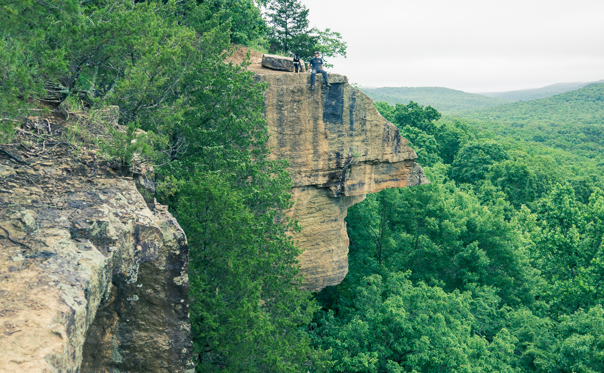
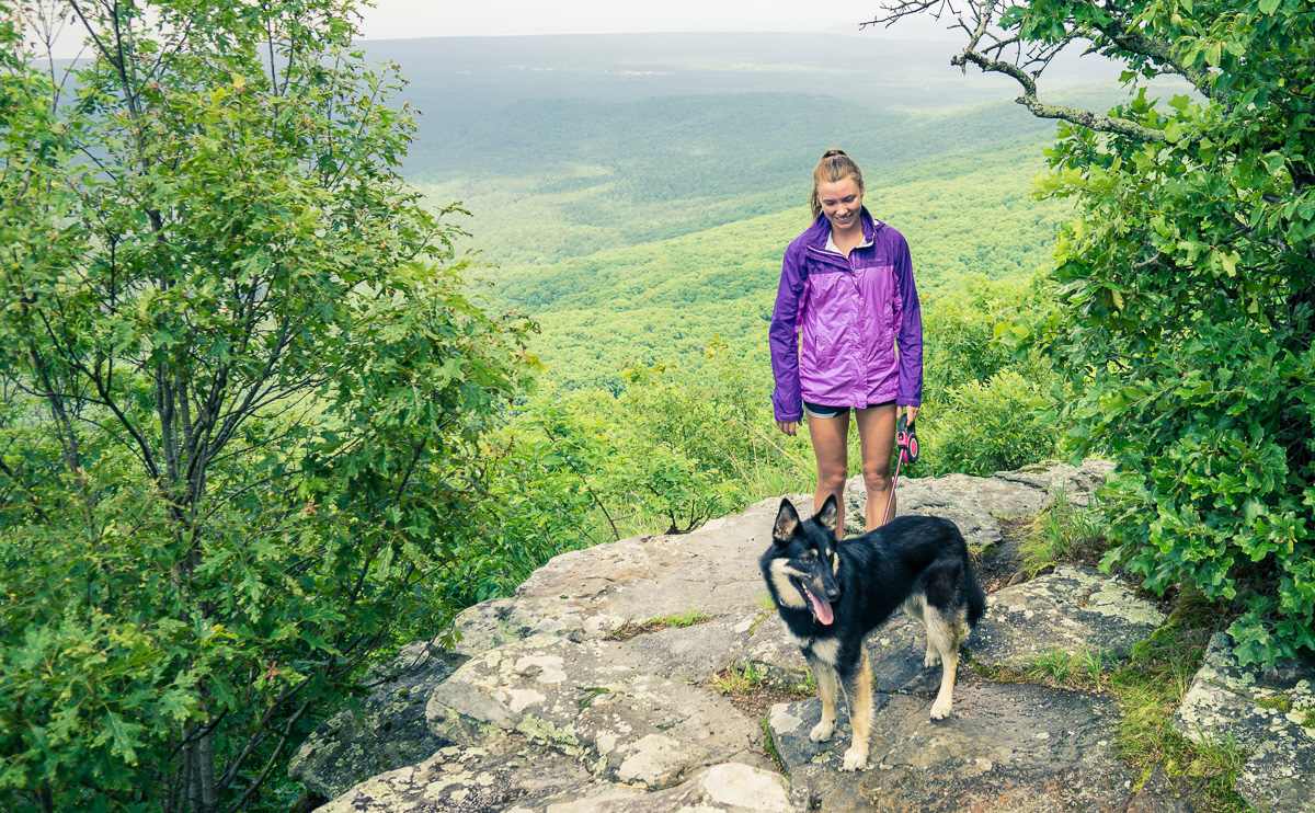
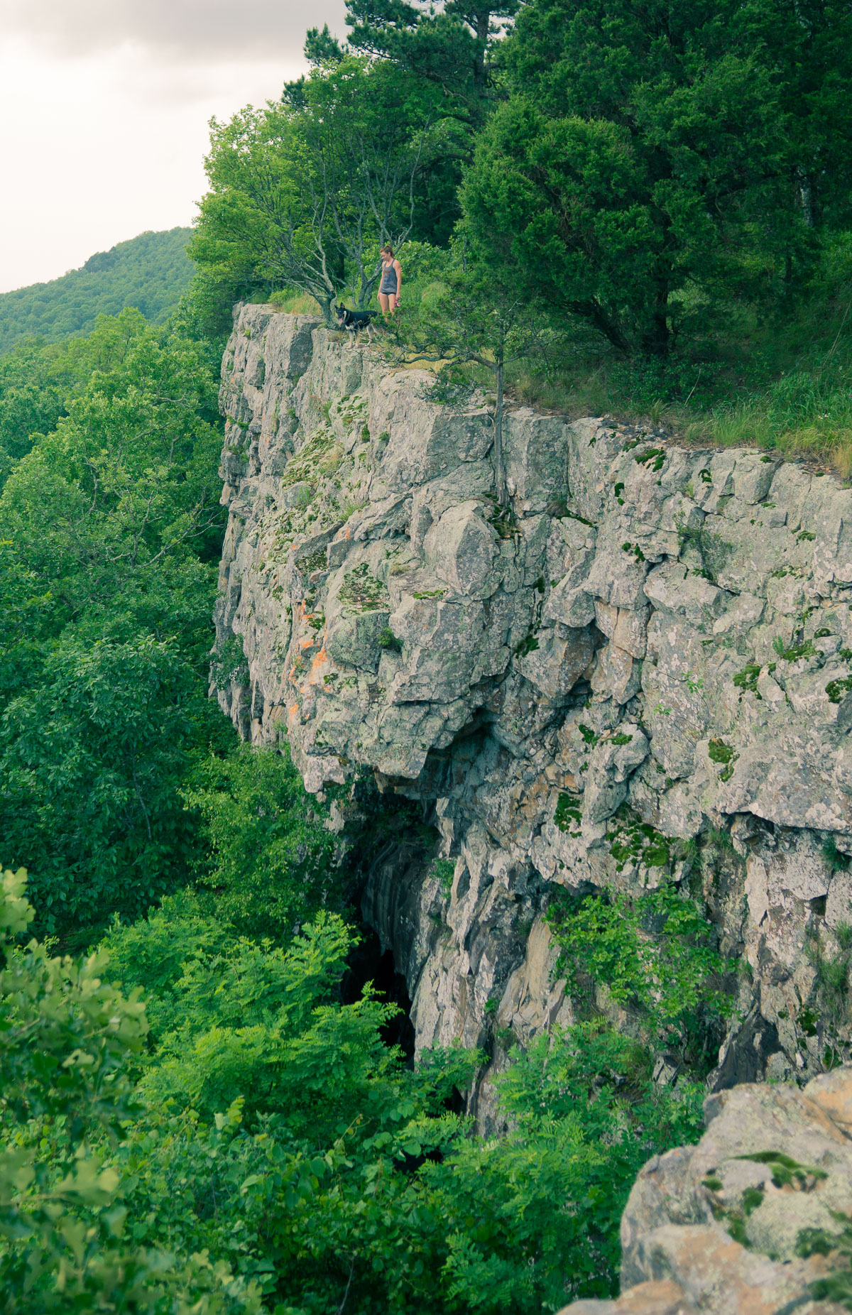
That being said, here are some trees (and rocks):
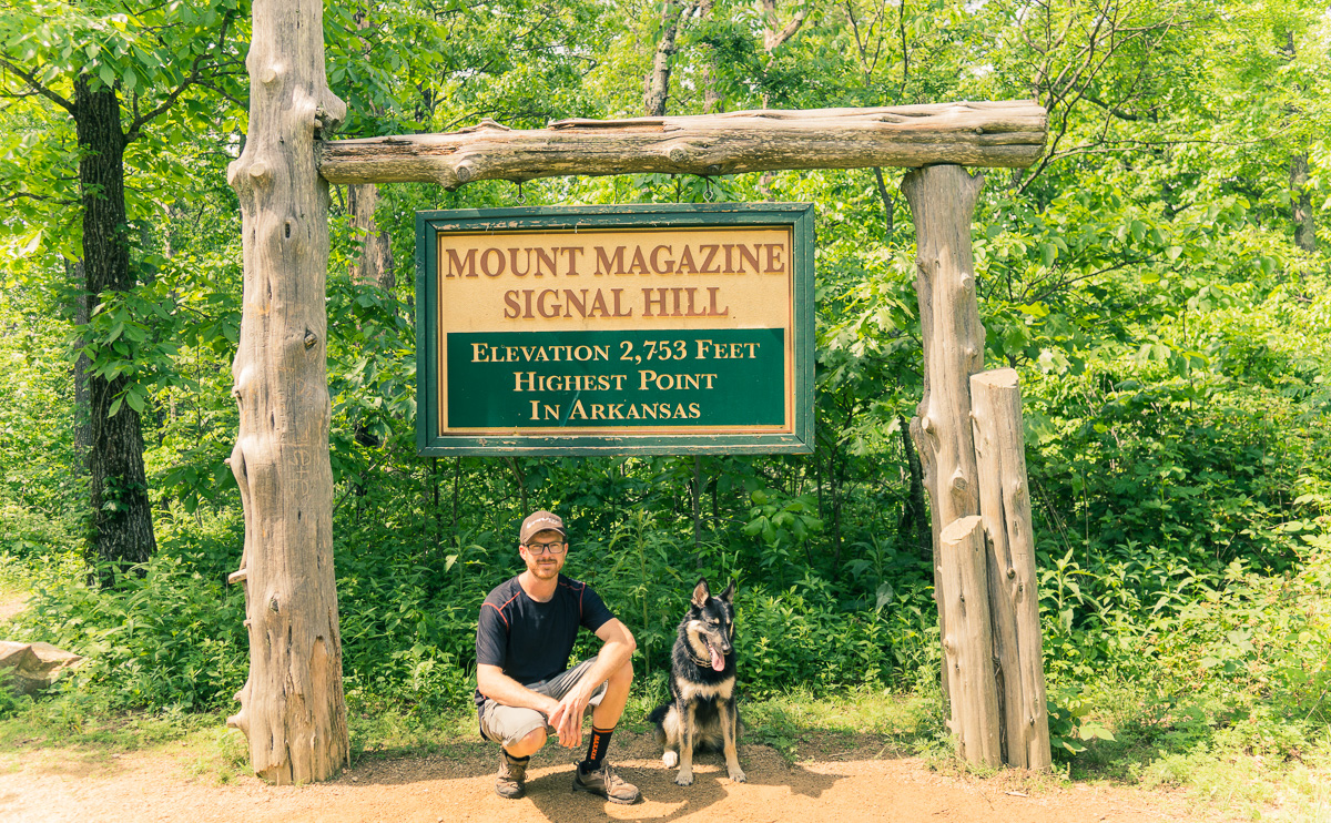
The tow truck driver recommended Mount Magazine State Park as his favorite place to hike around. The hills were steep enough to put the van thermostat in the red getting up there!
The rain teased us all day, but we did three short hikes in the park, culminating at the highest point in Arkansas.
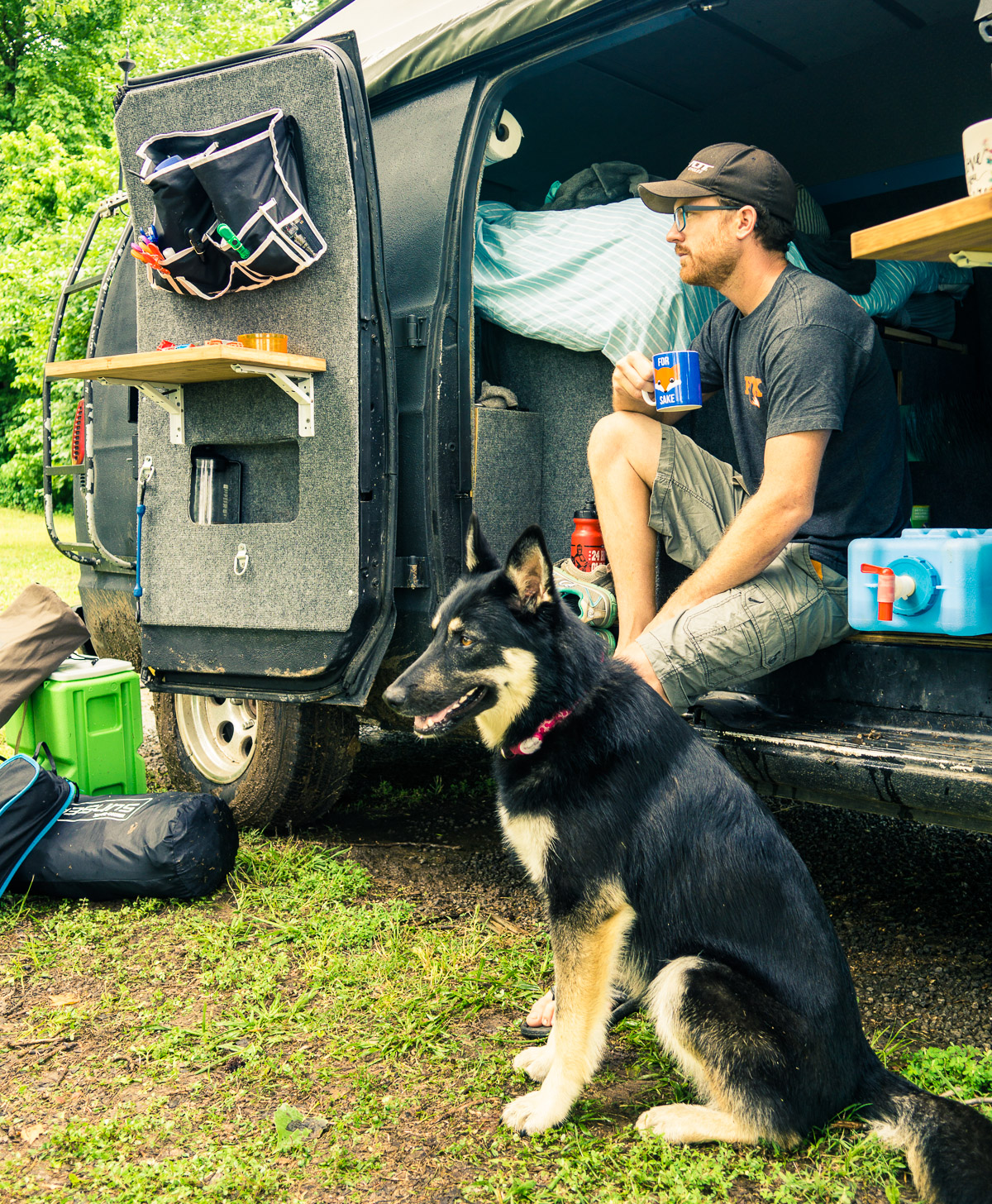
We spend the night in a river valley. After a day of rain the river was at the edges of the bank.
Now’s a good time to mention that we both have installed a Red Cross emergency app that gives us warnings based on our location… and it proceeded to terrify us through the night as we stared wide-eyed at the flowing river. We had plenty of cell service, so we were also able to read stories about campers getting washed away in flash floods. In retrospect, we would have gotten more sleep if we drove for a couple of hours and hunkered down on high ground.
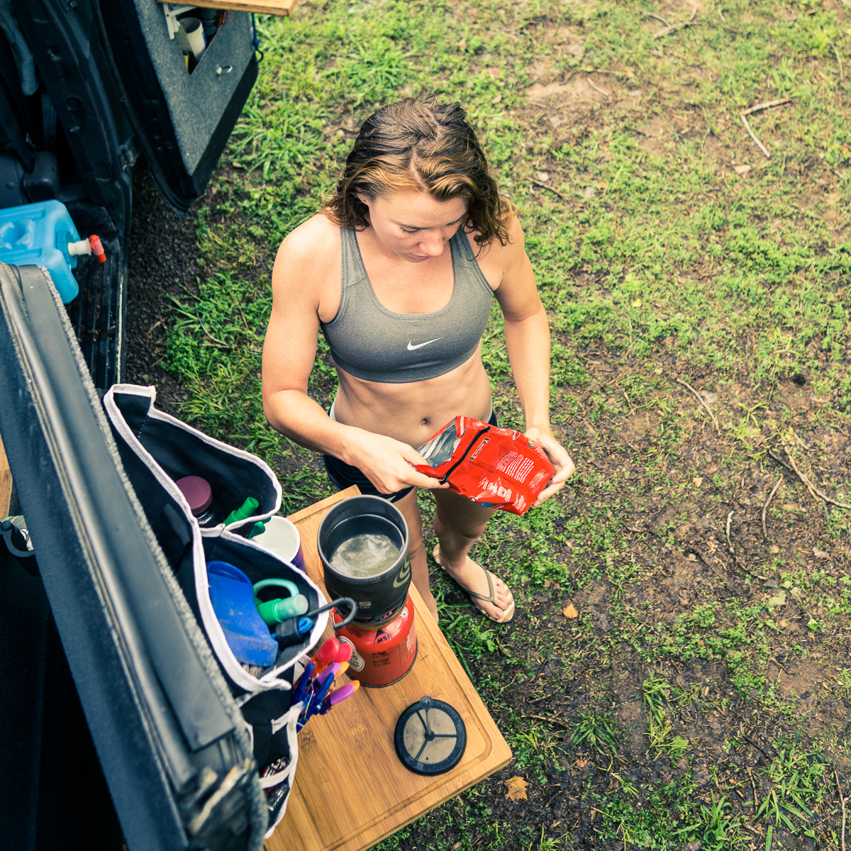
Morning coffee felt so refreshing and serene after that!
Moving a bit slower, we approached Devils Den, the oldest state park in Arkansas. It’s a big caving area, but most caves were closed due to bats across the country getting sick. Trying to prevent transfer of disease was more important than entertaining some curious tourists.
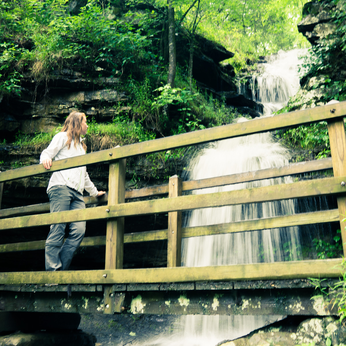
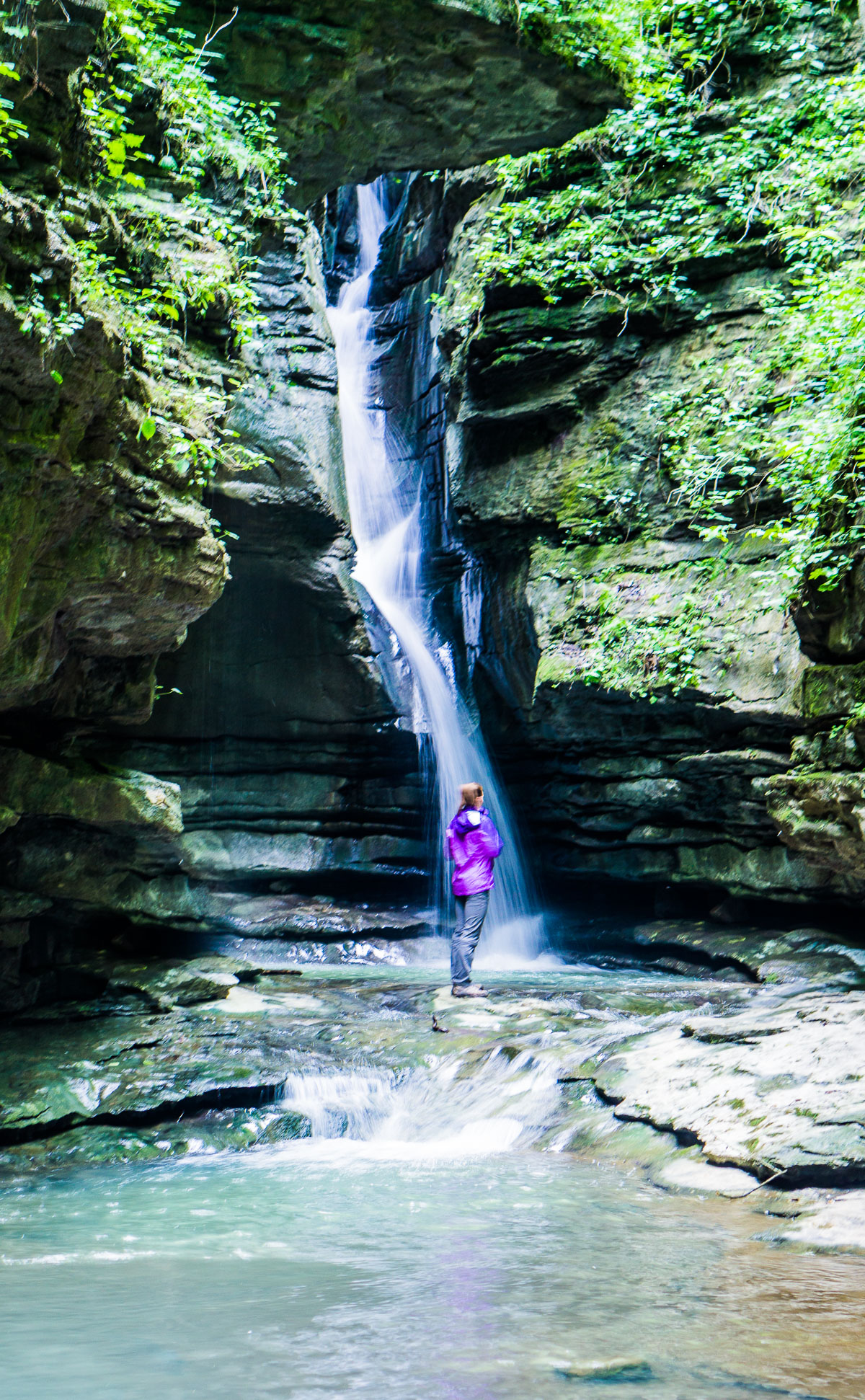
The rain made for some great waterfalls!
More cliffs. This state is made of cliffs. That night -on some cliffs- we had an amazing experience with “Ozark Dave”, who was a maintenance volunteer at one of the campsites. In a dry county, he was roaming around on his quad and coffee cup full of something stronger than cough syrup. He proceeded to stumble his way through the same series of jokes three times in a row before riding off into the night. We were especially humored because before this we were fretting about openinga bottle of wine, which is illegal in public areas of dry counties.
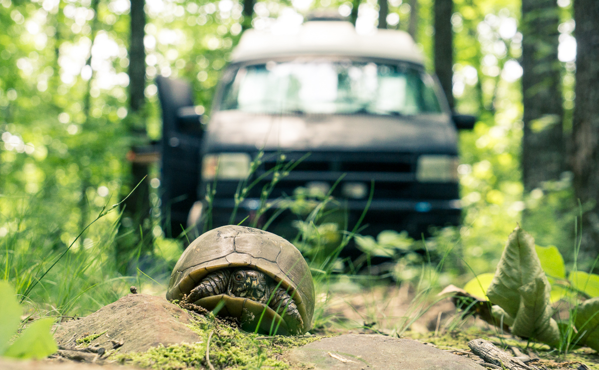
Our next camping spot near Erbie sported us a cute little turtle:
From this spot we found a hike online directing us toward Thunder Canyon Falls. A little bit of bushwacking and a lot of ticks, but the falls were worth it!
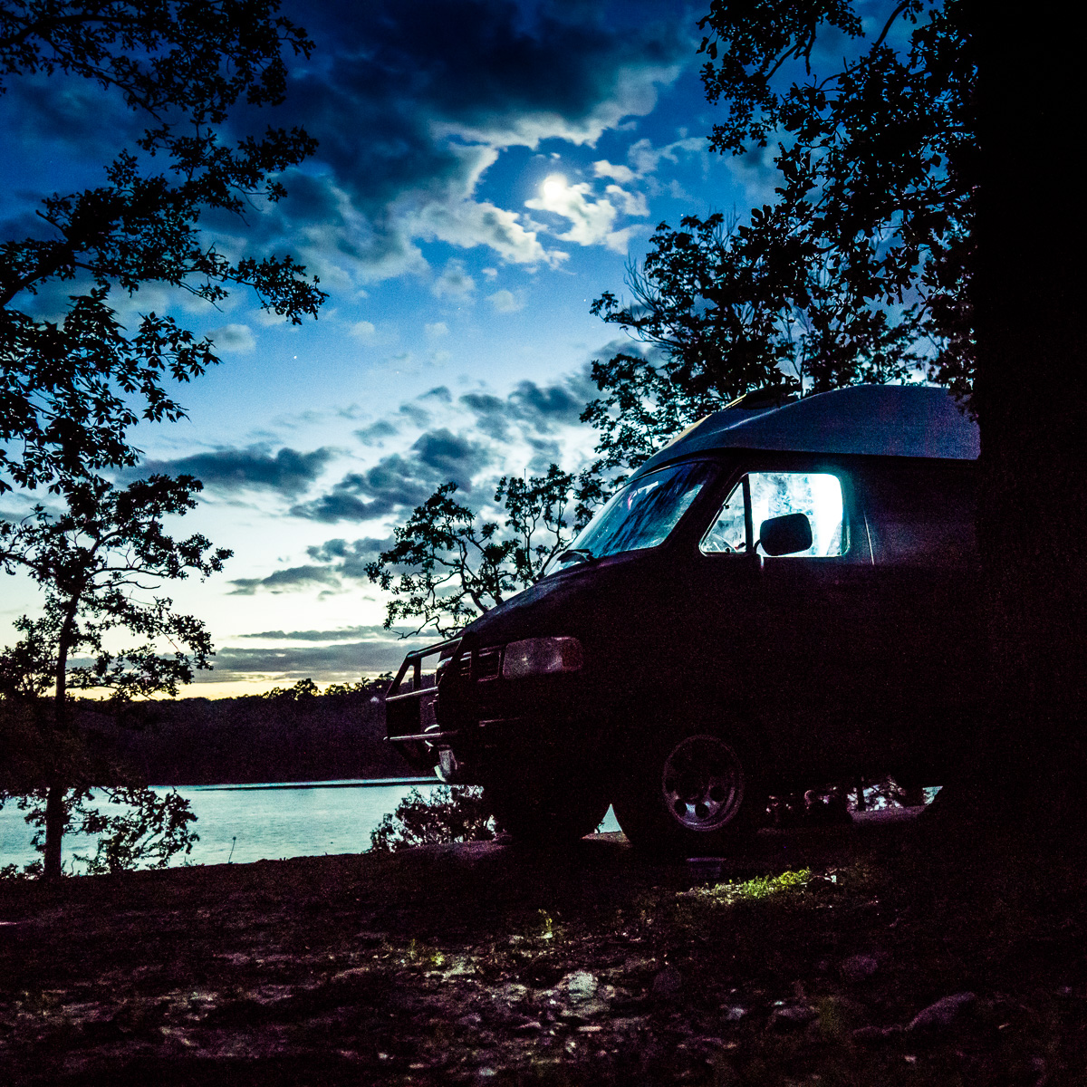
We end of at the very southern edge of Missouri, at a lake called Table Rock Lake. Supposed to be beautiful and clear, but was so full that the first level of campsites were under water and the lake was full of logs. Gorgeous weather, though!